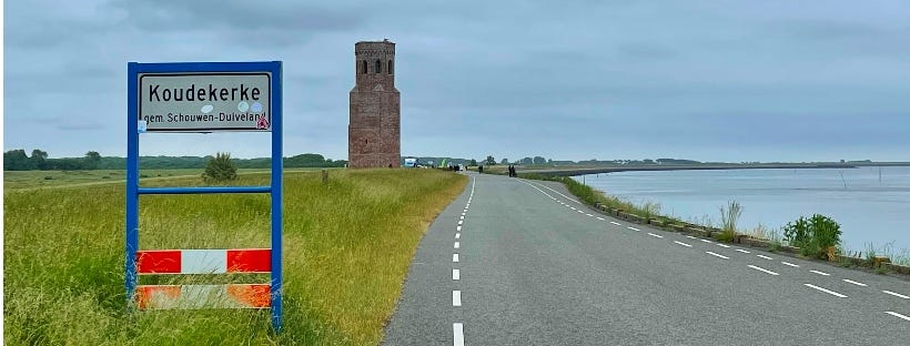
A church tower is all that is left of the village
Island Stories #4: Fourteen once prosperous villages disappeared in the water of the Eastern Scheldt.
Just a few kilometers from the village of Burgh-Haamstede, on the south coast of the island, stands a lonely church tower. I briefly mentioned it yesterday; it is all that is left of the once-prosperous village of Koudekerke.
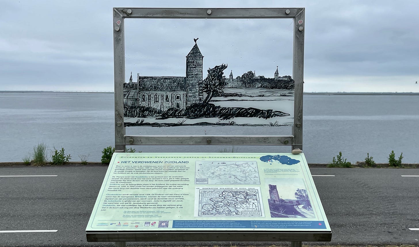
Koudekerke is one of the 14 villages on the south coast of the island of Schouwen-Duiveland that we lost to the waters of the Eastern Scheldt (in Dutch: Oosterschelde) between 1475 and 1650.

Two thousand years ago, the Eastern Scheldt was the major mouth of the Scheldt River. But in the 16th century, the estuary already received much less water. And in 1867, constructing a railway connection between the island of Zuid-Beverland and the Dutch mainland to the east completely blocked the connection between the Scheldt River and the Oosterschelde.
The history of the island Schouwen-Duiveland would have been quite different during the last year of the second world war if the main sea connection to the port of Antwerp would still have been through the Oosterschelde.

For the inhabitants of the village of Koudekerke in the late fifteenth century, the water was still more than three kilometers away in the Oosterschelde. In 1468, a new church was built to replace an earlier one. But the sea got closer all the time. Fierce storms and erosion of the dikes by strong currents won from the efforts of the population to strengthen the seawalls.
Sometimes 'reserve dikes' were already constructed further inland, behind a threatened sea dike. A good precaution, because the water swallowed the 14 villages one by one. In 1583, the last villagers of Koudekerke had to leave to saver grounds, and the church was broken down. The tower is all that remains of this village.

Zeeland is where the sea and land have been forever in a constant battle. On the south side of the island, the sea won. I will share more stories about the island’s history and will also look into the future. The sea level is rising and we know a next battle is coming in the future.
It will be a tough one to win as long as world leaders don’t drastically reduce the greenhouse gas emissions that lead to rising sea levels. But the Dutch are world-leaders on defending us against the sea, that dam in the distance is an example of technical ingenuity that I may write about in another post.


Thanks for that wonderful piece of history. Living on Long Island we have seen what havoc waters can cause. The Montauk Lighthouse is coming closer to the Atlantic as the cliffs are lost to erosion. The ocean takes sand from the East and deposits it further down the shore. On the north side of the island the cliffs have also been eroded by storms and houses built close to the edge have tumbled down. With rising seas we can expect more devastation.
The tower pictured shows what can happen. There is still time to plan to keep the island safe but it needs to be done soon.
Much to learn from the history of the island and those lost villages. This looks like an interesting place to visit. Is the tower open to the public? Love your storytelling and the pictures. I especially like the framing of the one with the "Het verdwenen Zuidland" sign. Perfect.